
The Floods are Warning Us

An aerial view looks west at the floodwaters in 1986, filling the American River to the brim, testing the levees, and inundating a section of Northgate Blvd. February 23, 1986. Credit: Norm Hughes, CA DWR.
By Tim Palmer
January 31, 2025
As floods rage with rainfall and snowmelt, one has to wonder about high water yet to come, and also to reflect on floods we’ve endured.
On February 20, 1986 I lived ten long blocks from the American River, but still a full story beneath the level of floodwaters brimming Sacramento’s levee. At a riverfront park I climbed to the top of the skinny pile of rock that—as a levee—constituted the city’s tenuous defense and, with water lapping at my feet on the other side, I watched angry flows sudsing toward sea. Turning back the other way, I looked down on the roofs of the city.

1986 flood waters destroyed sections of levee in the Delta. Credit: CA DWR.
At that moment we lived in far greater peril than anyone knew. Bicycling upstream on top of the levee, I came across strange phenomena that I later learned were called “sand boils.” Though little sand was involved in these cases, holes in the levee were beginning to appear where water was eating its way through the barrier. The levee was riddled with weaknesses, unknown until the crest subsided. Years later the director of the Sacramento Area Flood Control Agency stated to the Sacramento Bee, “The scary part is that you couldn’t see the damage to the levee….They should have evacuated, quite frankly.” (Ryan Sabalow, “Levee ‘Armoring’ Along the American River Parkway Draws Concerns.” Sacramento Bee, Mar. 25, 2016.)
Wait! Before you read on, Friends of the River is sponsoring a meet and greet with Tim on February 11 in Sacramento, where he will be speaking about the problem of flooding . Please join us.
RSVP to info@friendsoftheriver.org; Light refreshments will be served.
Tuesday, February 11
5-6:30 PM at the FOR Offices
3336 Bradshaw Rd., Suite 335
Sacramento, CA 95827
With credit to civic leadership, a lot of work, and more money than anyone at first imagined, key improvements to the city’s flood-fighting infrastructure were built during the following decades, and continue. Their cost—$4 billion or so—indicates how expensive it is to live in safety—even expressly conditional safety—behind a levee. Sacramento is exceptional in addressing the problem. Rural areas and the sprawl beyond compact cities will never be able to afford the safeguards that people rely upon. A quarter-century after the 1986 flood, half the urban levee mileage statewide failed to pass engineering standards, and farmlands lay in significantly greater danger. (Ca Dept of Water Resources. Flood Control Systems Status Report. Central Valley Flood Management Program, 2011.) That’s bad enough, and now, owing to the planet’s irrevocable warming, the floods will get worse. Much worse.

Some communities were much less fortunate during the floods of 1986. Only 30 miles away from the American River in Sacramento, floodwaters overtook a neighborhood in West Linda, CA. February 27, 1986. Credit: Norm Hughes, CA DWR.
UCLA Professor Daniel Swain found that a 20 percent surge in flood volume and 200 percent jump in flood frequency will be “essentially inevitable” in California given rates of global warming. (Swain, D. L. et al. “Increased Flood Exposure Due to Climate Change and Population Growth in the United States.” Earth’s Future. Oct. 20, 2020, p 1, 14.) The Federal Emergency Management Agency reported that floodplains are likely to see a 45% increase in area inundated. (FEMA. The Impact of Climate Change and Population Growth on the National Flood Insurance Program Through 2100. 2013.) Pictures of high water statewide in recent years are shocking, but a flush of runoff in the coming months—not only in California but across many lowlands nationwide—should be no surprise.
While recently writing a book on this issue, I found unexpected inspiration for solving the problem in Nashville, Tennessee. After floods savaged vulnerable homes in 2010, the metro government launched a program to buy flood-prone houses—450 and counting—then convert their acreage into parks.
This get-out-of-harm’s-way solution works, yet an in-depth study by the Natural Resources Defense Council found that federal programs spend only $1.72 helping people move away from flood hazards for every $100 spent helping victims stay and get flooded again. (Moore, Rob. “Seeking Higher Ground: Climate Smart Solutions to Flooding.” Natural Resources Defense Council blog, July 25, 2017.) That taxpayer hemorrhage comes in the form of relief payments, subsidized insurance, and flood “proofing,” and does not count mega-billions for dams, levees, and channelization spanning the past century. Our governments should be helping people move away from the problem more than helping them stay to get flooded again.

Rio Linda, a rural community outside of Sacramento, sustained damage to over 100 structures in the 1986 floods. February 20, 1986. Credit: CA DWR.
Sacramento has funded its Cadillac levee, retrofitted with impermeable bentonite, armored for abrasion, raised higher and higher, but most flood-prone places—including most communities in the Sacramento River basin—can’t do that. Only 12 percent of the Central Valley’s major levees protect densely populated communities, leaving 88 percent in areas having little ability to pay for what’s needed.
Instead of pouring good money downstream after bad, we should be helping people in rural areas and repeatedly flooded lowlands to move and be done with the problem. At the very minimum, we should be assuring that open space remaining in flood zones not be developed with new homes and businesses. Efforts of this kind are being pursued in California but, as NRDC found, the ratio of relocation to re-entrenchment is the reverse of what it should be.
California’s quintessential novelist, John Steinbeck wrote, “It is one of the triumphs of the human that he can know something and still not believe it.” Standing on Sacramento’s levee decades ago and seeing a fearsome flood led me to not just know, but also believe we have a problem. And now we know that floods are growing worse. The topic is timely, as the Federal Emergency Management Agency is considering new rules for its flood insurance program. Anyone who happens to be seeking for ways to make government more efficient, a more germane topic could hardly be imagined. FEMA, Congress, every state, and every flood prone community should be shifting money to what really works: getting out of harm’s way. Let rivers be rivers, with space to overflow when the big storms come. This course is profoundly good for the rivers themselves, as their periodic flooding is beneficial for habitat, wildlife, fish, and natural systems that not only endure flooding but were made for it when the big storms come. Which they surely will.
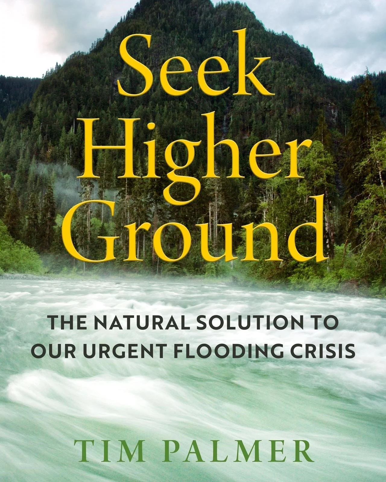
Tim Palmer, a long-time supporter of Friends of the River and the author of Stanislaus: The Struggle for a River, recently published Seek Higher Ground: The Natural Solution To Our Urgent Flooding Crisis, available from your local bookstore, online sources, and the University of California Press. See www.timpalmer.org.